 |
 |
Formule4 - La Terre vue du Sol | |

|
|
Accédez à cette route du Raid
Go to this route of the Raid
Updated : 0000-00-00
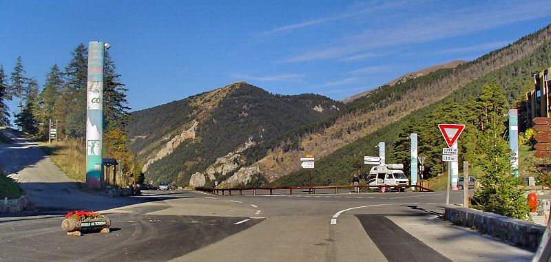
Traversez La Colmiane et continuez la D2565 vers St Dalmas
Go through La Colmiane and take the road D2565 to St Dalmas
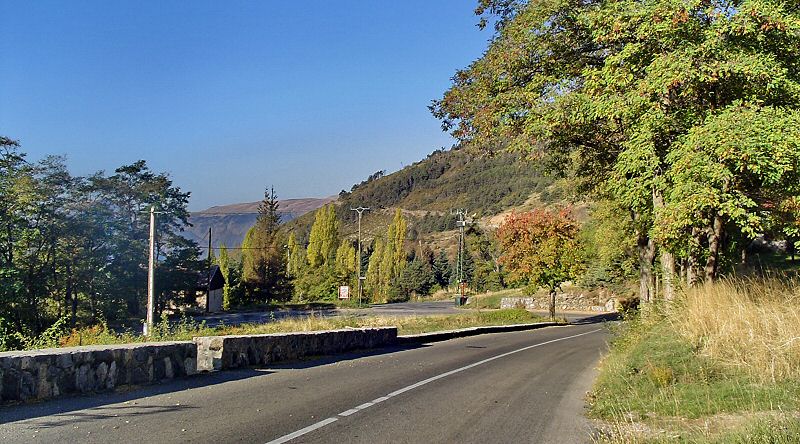
De Nice, suivez la RD6202 vers le Nord. Après Plan du Var, tournez à droite dans la vallée de la Vésubie jusqu'à St Martin Vésubie. Quelque kilomètres plus loin, prenez à gauche, la D2565, vers La Colmiane. Traversez la station et sortez vers l'Ouest sur la D2565.
From Nice, take RD6202 to North. After Plan du Var, take right along Vesubie valley to St Martin Vesubie. After this town, take left on D2565 to La Colmiane. Cross the town and continue to West on D2565.
Updated : 0000-00-00
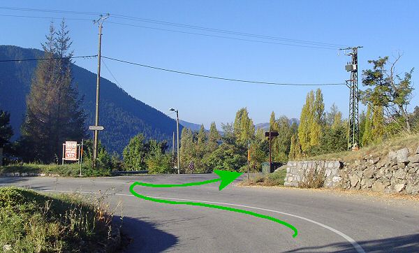
Apres deux kilomètres, à l'épingle, prenez la route à droite
After two kilometers, at the curve pin, take the road on the right
Updated : 0000-00-00
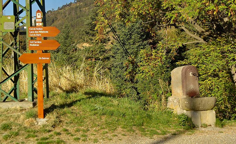
Prenez sur votre droite, c'est indiqué Millefonts
Take on the right, the panel indicates Millefonts
Updated : 0000-00-00
Suivez la route en lacets à droite vers le Col de Veillos
Follow the lacets on the right to the Col de Veillos
Accédez à cette route du Raid
Go to this route of the Raid
Updated : 0000-00-00
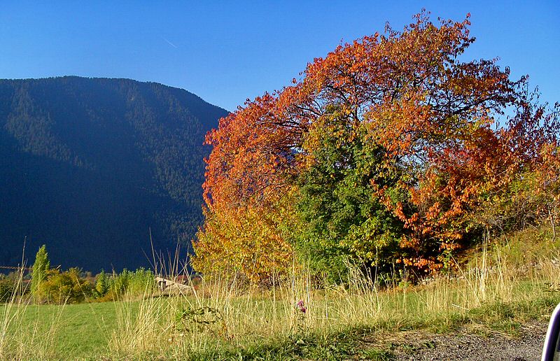
Toujours une lumière magnifique
Always a marvelous light
Updated : 0000-00-00
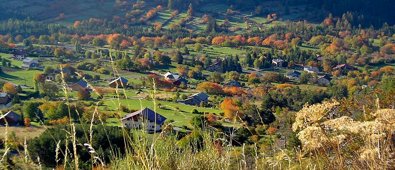
Le village de St Dalmas en bas
Down, the village of St Dalmas
Updated : 0000-00-00
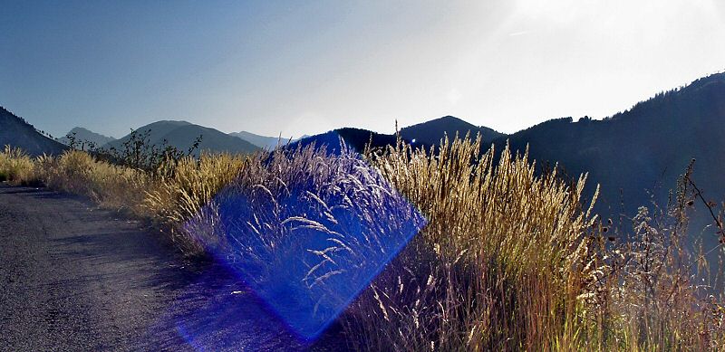
La route secoue un peu alors arrêtez vous et faites des photos
The road is severe so stop often and take pictures

Updated : 0000-00-00
Les Roubines, un excellent arrêt paysage
Les Roubines, a very nice stop landscape
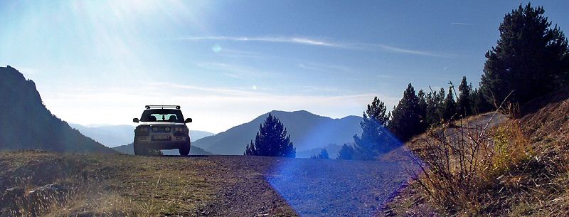
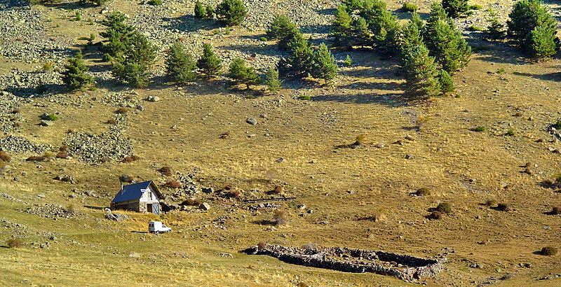
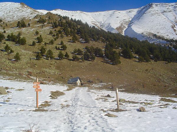
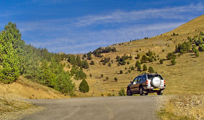
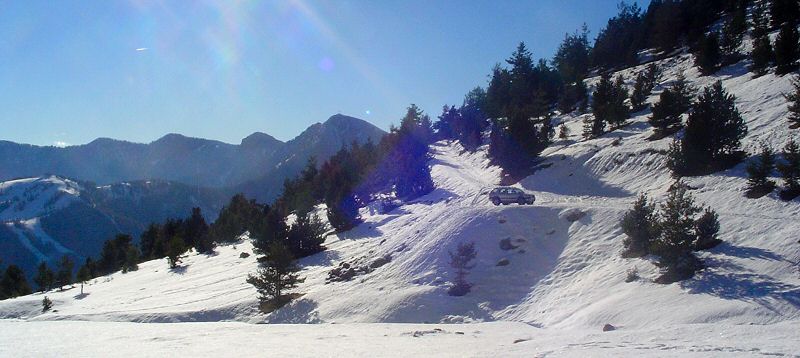
Toujours sur la route, après avoir traversé une jolie forêt sur crête, vous tombez sur une épingle. Arrêtez-vous et profitez du calme de l'endroit. En hiver, c'est le point extrême que vous pourrez atteindre en 4x4. En été, la route continue jusqu'au parking plus loin.
Always on the road, after the cross of a nice forest, you join a pin curve where you can stop and enjoy the quiet atmosphere. When ther eis snow, in winter, it is often the farthest point you can join by car. When there is no snow, you can continue upper by car.
Updated : 0000-00-00
Updated : 0000-00-00
Updated : 0000-00-00
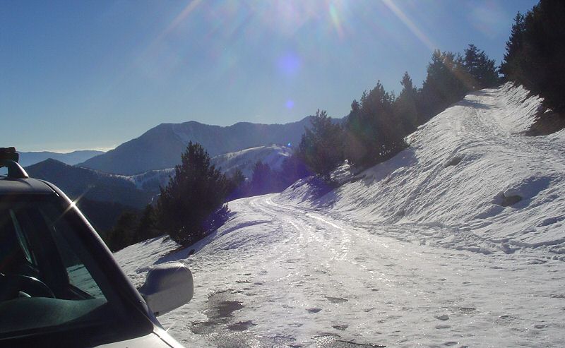
En manteau d'hiver
With winter coat
Updated : 0000-00-00
Continuez à monter à gauche
Continue to climb on your left
Updated : 0000-00-00
Les Roubines en hiver. Pas moyen de monter plus haut
In winter, no way to go much farther
Updated : 0000-00-00
Updated : 0000-00-00
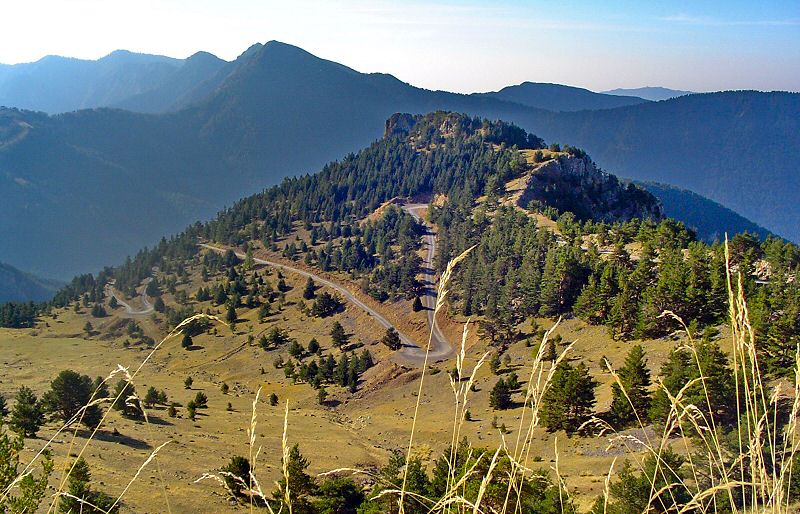
De plus haut, une vue sur l'épingle des Roubines
From higher on the road, a view on the pin curve of the Roubines
Updated : 0000-00-00
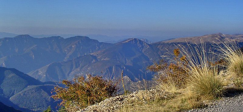
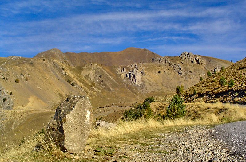
Une vue à perte de vue
View without limit
Updated : 0000-00-00
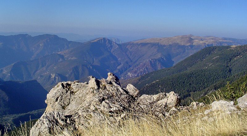
Le site des Lacs de Millefonts
The site of the Millefonts Lakes
Updated : 0000-00-00
 Road Book - Waypoints


| N° | Codec | Nom | Latitude | Longitude | Altitude |
| 1 | 1PKVLS | Parking Veillos | N 44°05'52 | E 007°11'18 | 02006 m |
| 2 | 2CLVLS | Col de Veillos | N 44°06'14 | E 007°11'17 | 02181 m |
| 3 | 3LCPTI | Lac Petit | N 44°06'44 | E 007°11'19 | 02248 m |
| 4 | 4LAC2 | Lac N°2 | N 44°06'53 | E 007°11'27 | 02299 m |
| 5 | 5LRND | Lac Rond | N 44°06'49 | E 007°11'33 | 02318 m |
| 6 | 6LLNG | Lac Long | N 44°06'56 | E 007°11'38 | 02346 m |
Updated : 0000-00-00
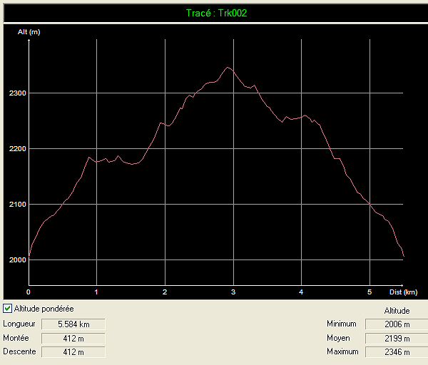
Profil Altitude Lacs de Millefonts
Altitude Profil Lacs de Millefonts
Updated : 0000-00-00
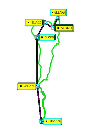
Plan de la randonnée des Lacs de Millefonts
Map of the hike of Lacs de Millefonts
Après une bonne mise en jambe, vous atteignez le Col de Veillos. Redescendez un peu puis remontez jusqu'au premier lac. Contournez le à gauche puis montez à droite vers le second lac. Prenez à droite pour atteindre le 3e lac. De là, vous monterez franchement pour terminer au 4e lac. redescendez ensuite par le GR52 jusqu'au Col de Veillos, pui sregagnez le parking.
After a warm up to the Col de Veillos, continue a little down then up to the 1st lake. Turn around by the left then climb on the right to 2nd lake. Take right to 3rd lake then really up to 4th lake. Go down by GR52 to join again Col de Veillos, then to the car park.
Updated : 0000-00-00
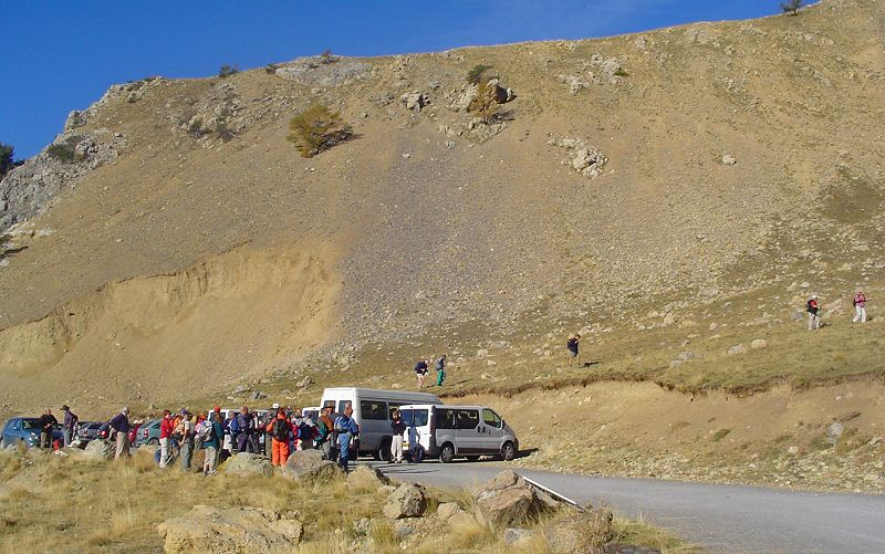
WPT1 Le parking du Veillos
WPT1 Car Park of the Veillos
Comme prévu, un peu de monde à l'arrivée au départ. Vous ne serez pas seul pour monter mais, très vite, les groupes vont s'éparpiller dans la nature.
As mentionned, there is a little people at the arrival of departure. You will not climb alone. But quickly all this people will scatter in the nature.
Accédez à cette route du Raid
Go to this route of the Raid
Updated : 0000-00-00
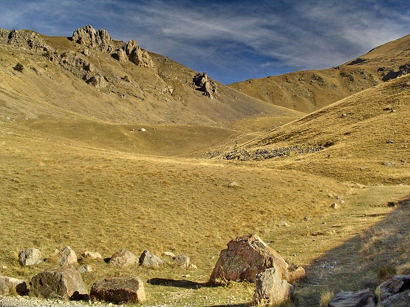
Le début de la rando est assez souple
The start of the hike is not very hard
Updated : 0000-00-00
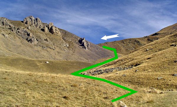
Première étape : le Col de Veillos
First step of the hike : Col de Veillos
Updated : 0000-00-00
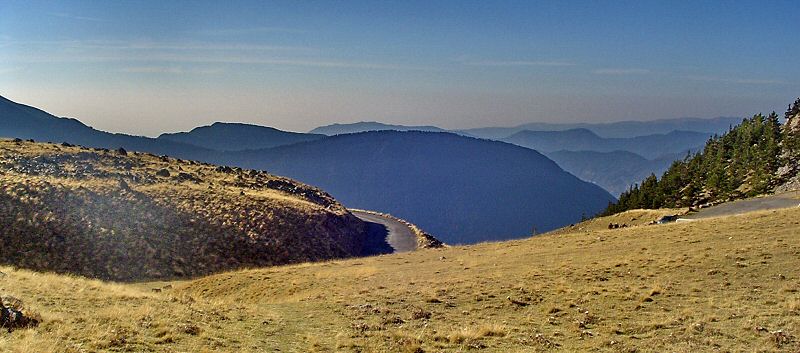
Dès les premiers mètres, la vue se dégage encore
After only the first meters, the view is more better than ever
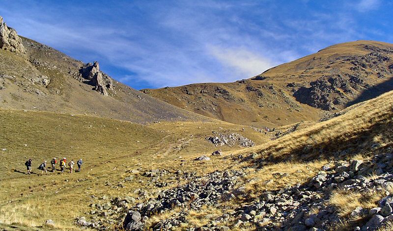
Updated : 0000-00-00
Seul ou à plusieurs, l'ascension est très aisée au début
Alone or with people, the climbing is easy at the beginning
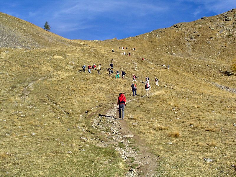
Updated : 0000-00-00
La seconde partie vous offre de multiples sentiers
The second part offers you several pathes to climb up
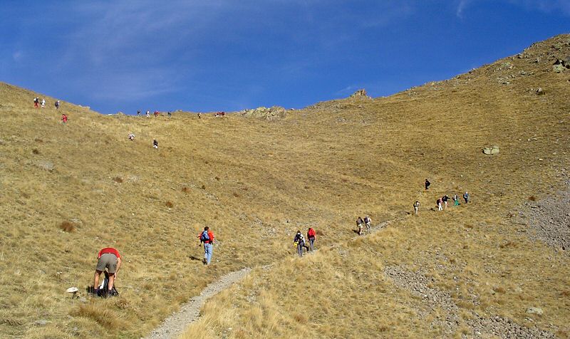
Updated : 0000-00-00
Updated : 0000-00-00
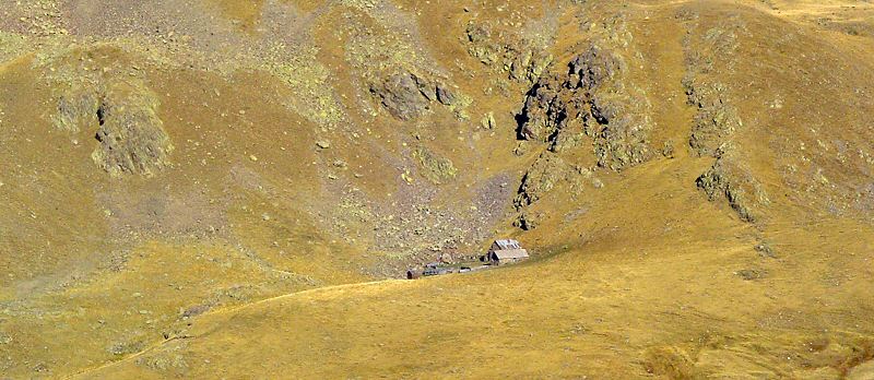
Batiments d'élevage dans le Vallon des Millefonts à votre gauche
Stock farmin buildings in the Vallon des Millefonts on your left
Updated : 0000-00-00
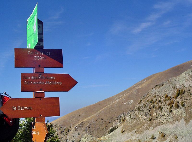
WPT2 Le col de Veillos
WPT2 The pass Col de Veillos
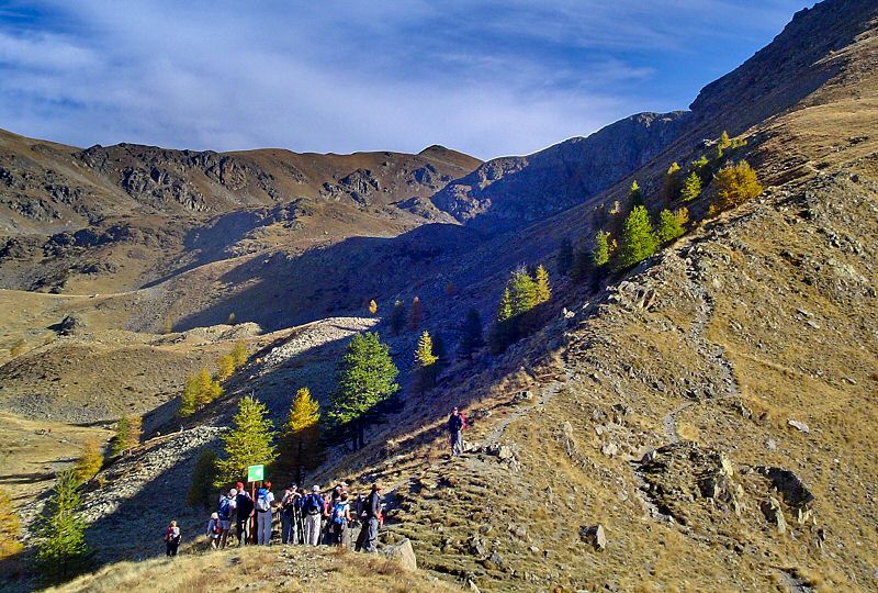
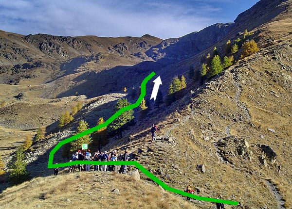
Face à vous, le sentier vers le premier lac, à votre droite, le sentier d'où vous rentrerez plus tard, à votre gauche, le Vallon de Millefonts.
Face to you the path to the first lake, on your right, the path you will take later to come back, on your left, the Vallon de Millefonts.
Updated : 0000-00-00
Updated : 0000-00-00
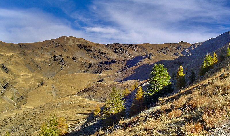
Passez le col et continuez face à vous
Cross the pass and continue face to you
Updated : 0000-00-00
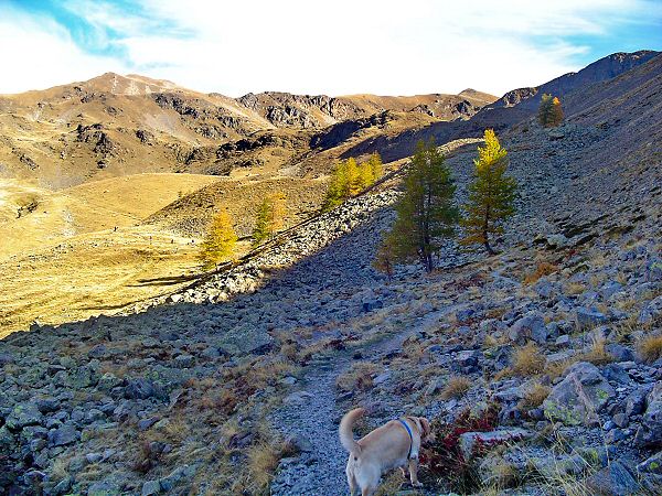
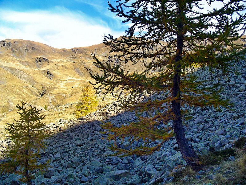
Le sentier descend un peu avant d'attaquer la retenue du lac
The path goes a little down before climb to the lake
Updated : 0000-00-00
Updated : 0000-00-00
Updated : 0000-00-00
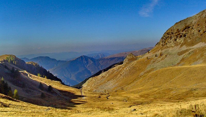
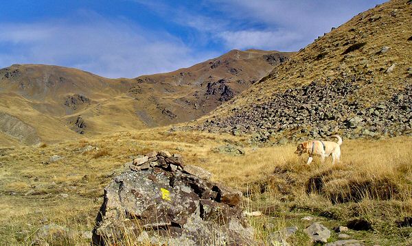
Dans votre dos, la piste du fond du parking sur un splendide panorama
In your back, the track at the end of the car park on a wonderfull landscape
Updated : 0000-00-00
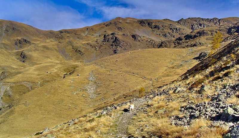
Updated : 0000-00-00
L'accès au lac est un peu raide
The lake access is a little harder
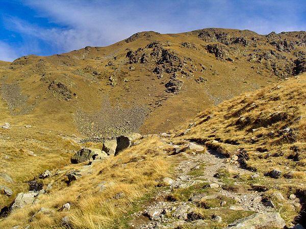
Updated : 0000-00-00
A gauche du chemin et des rocs on aperçoit la retenue du lac
At the left of the path and the rocks you see the retention of the lake
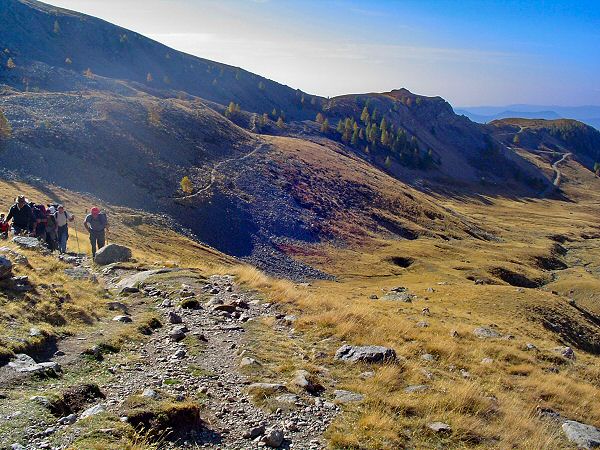
Updated : 0000-00-00
Les derniers mètres d'efforts
The last meters of efforts
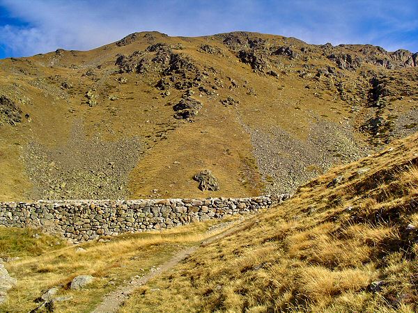
Updated : 0000-00-00
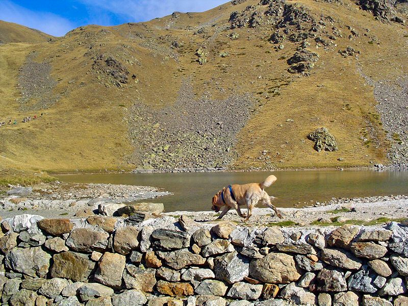
Derrière ce muret, une eau rafraichissante
Behind the little wall, a refreshing water
Updated : 0000-00-00
WPT3 Le Lac Petit qui est un des plus grands lacs de la ballade
WPT3 The Lac Petit is a widest lake of the hike
Le Lac Petit est un magnifique lac aux eaux délicieusement glacées. Même en été, ne pensez pas pouvoir y faire trempette agréablement. Rafraichissez-vous et profitez de l'endroit si, par chance, il n'y a personne (c'est rare).
The Lac Petit (small lake) is a wonderful lake with delicious ice water. Even in summer, you will not enjoy to swim in a long time. Refresh your face and hands and enjoy the place if there is (rarely) no people.
Accédez à cette route du Raid
Go to this route of the Raid
Updated : 0000-00-00
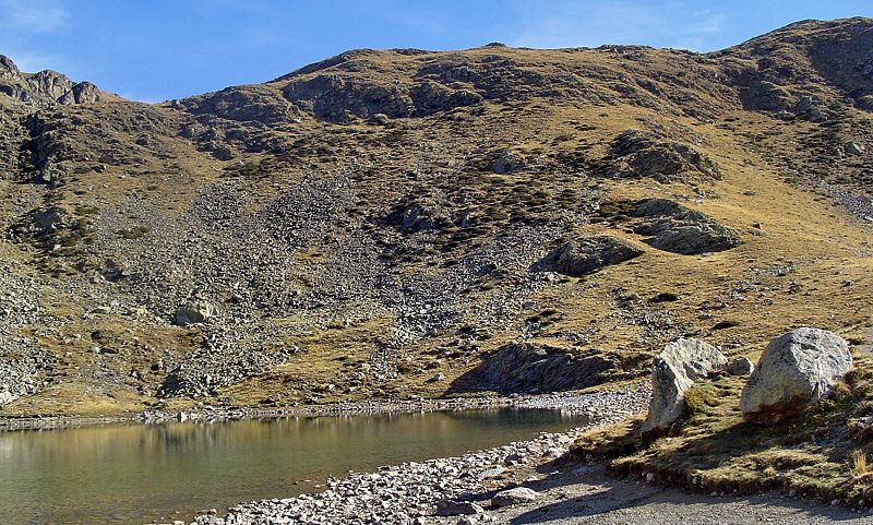
La rive est du Lac Petit
The East river of Lac Petit
Updated : 0000-00-00
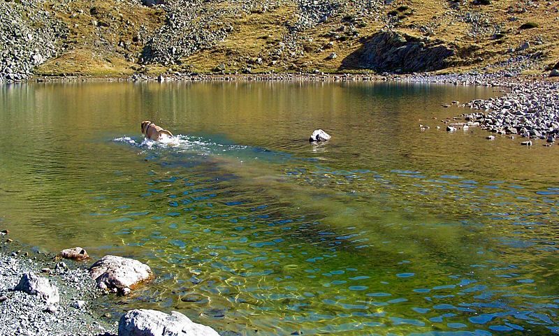
Les eaux cristallines incitent à la baignade
Cristal waters attract you to go to swim
Updated : 0000-00-00
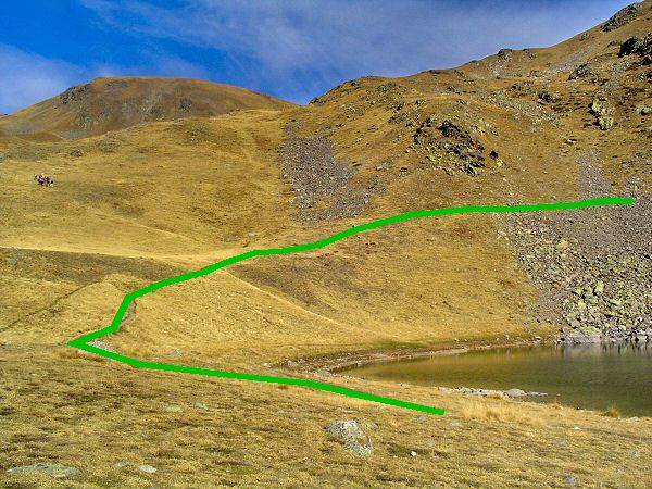
Accès vers le second lac
Way to the second lake
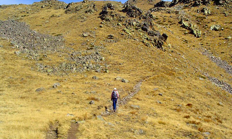
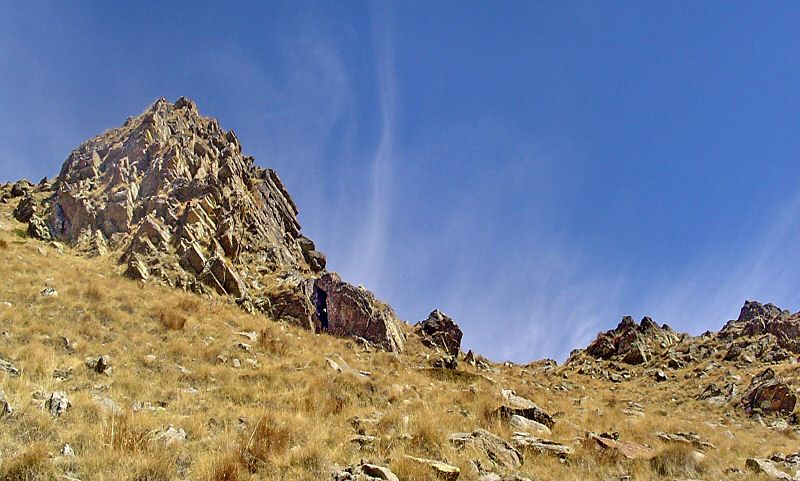
Suivez le chemin qui surplombe la rive Ouest sur la gauche du lac. Montez le long de la ligne indiquée en vert. Le chemin qui monte à gauche mène au Col de Ferrière. Ne le prenez pas. Bifurquez franchement vers la droite et passez par l'ébouli.
Take the path that overhang the West river of the lake then clim up. The way that goes to the left brings you to Col de Ferrière. You will take the right path by over the fallen rocks.
Updated : 0000-00-00
Malgré les roches, le sentier est facilement pratiquable
Even if there are rocks the path is easy to walk
Updated : 0000-00-00
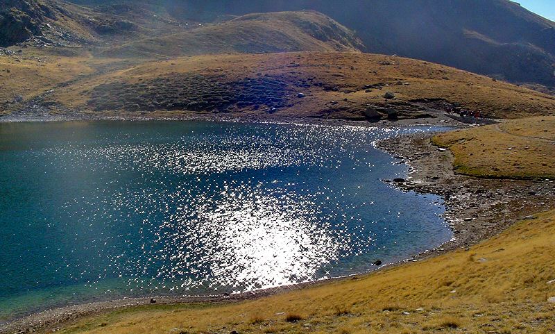
En se reflétant, le ciel bleu donne sa couleur intense au lac
By reflection, the blue sky gives its intense color to the lake
Updated : 0000-00-00
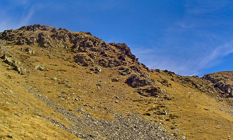
Au dessus de cette barre rocheuse se trouve le second lac
Over this rock bar is the second lake
Updated : 0000-00-00
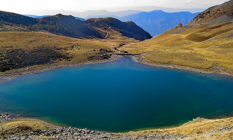
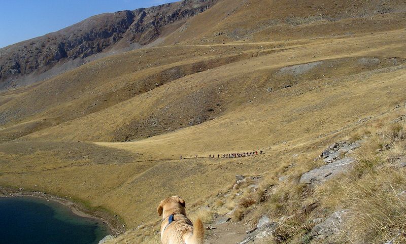
Le lac de Millefonts dans toute sa splendeur
The lake of Millefonts in all its splendor
Updated : 0000-00-00
A gauche le lac, en face la piste du Col de Ferrière
On the left the lake, face to you, the path to Col de Ferrière
Updated : 0000-00-00
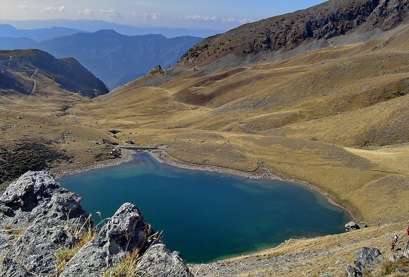
Vous continuez vers l'Est avec la retenue du 2e lac juste au dessus
Continue East with the lake retention above your head
Updated : 0000-00-00
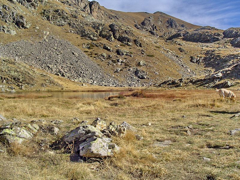
Un dernier regard en arrière sur le Lac Petit
A last view in your back on the Lac Petit
Updated : 0000-00-00
WPT4 Lac N°2 à 2300 mètres d'altitude
WPT4 Lake N°2 altitude 2300 meters
Vous atteignez ce second lac un prix d'un petit effort musculaire et respiratoire mais la tranquillité du lieu est rassurante et fortifiante.
You join this second lake after an effort but the quit of the place is good to restore your forces.
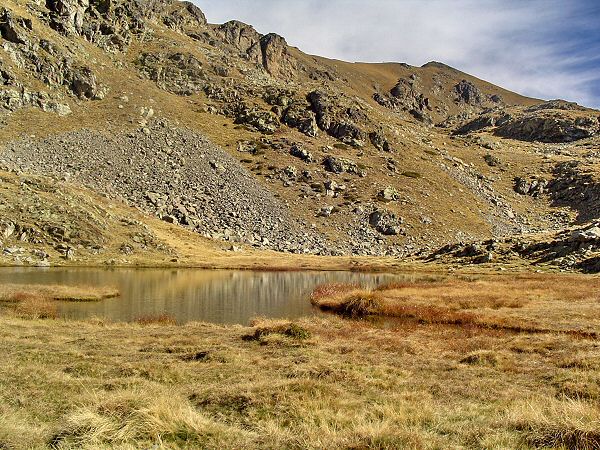
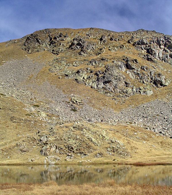
Updated : 0000-00-00
Le reflet de la montagne sur l'eau tranquille
The moutain reflects in the quiet water
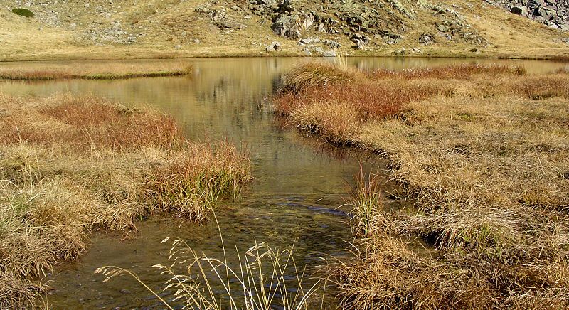
Updated : 0000-00-00
L'écoulement du lac vers l'aval
Downstream of the lake
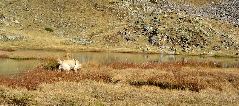
Updated : 0000-00-00
Les berges sont très accessibles et incitent à la fraîche baignade
The banks are easy to access and bring you to take a fresh bath
Updated : 0000-00-00
Updated : 0000-00-00
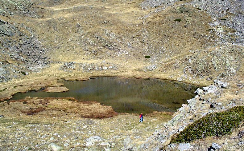
Vue générale du 2e lac
Overview on the 2nd lake
Updated : 0000-00-00
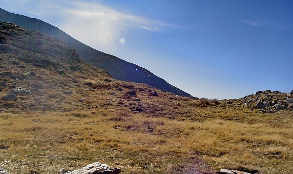
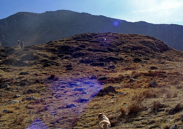
Continuez vers l'Est la piste qui monte
Continue to East the climbing path
Updated : 0000-00-00
Updated : 0000-00-00
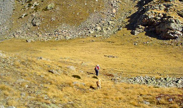
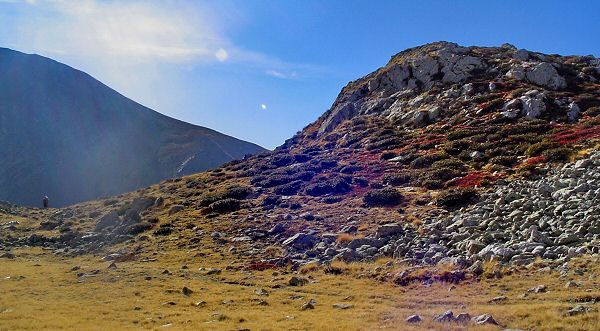
Redescendez en suivant la piste puis prendre à droite
Go down following the path and take right
Updated : 0000-00-00
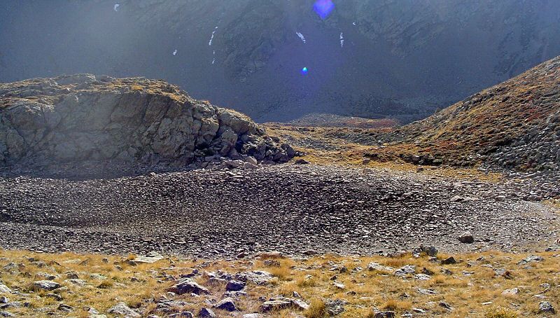
Franchissez le dernier petit col avant le lac rond
Cross the last little pass before round lake
Updated : 0000-00-00
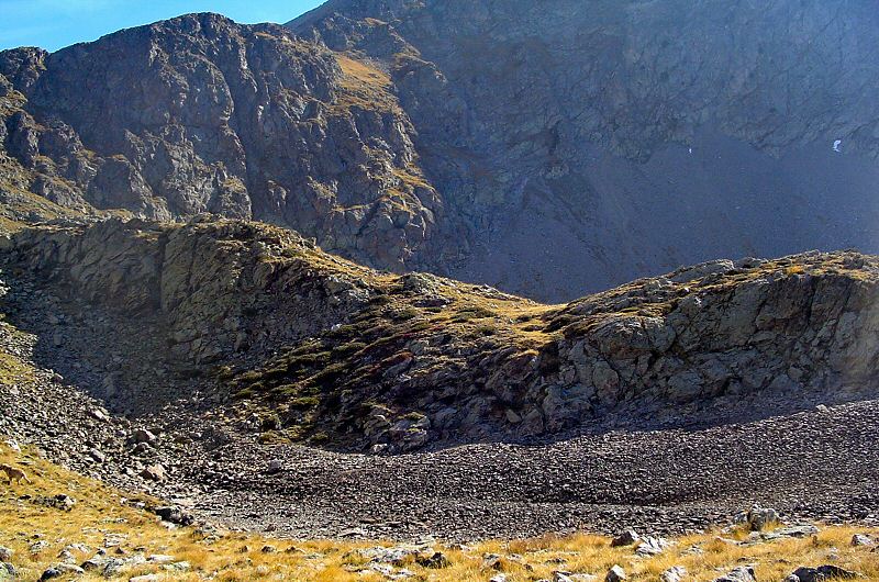
WPT5 Le lac Rond
WPT5 The Round Lake
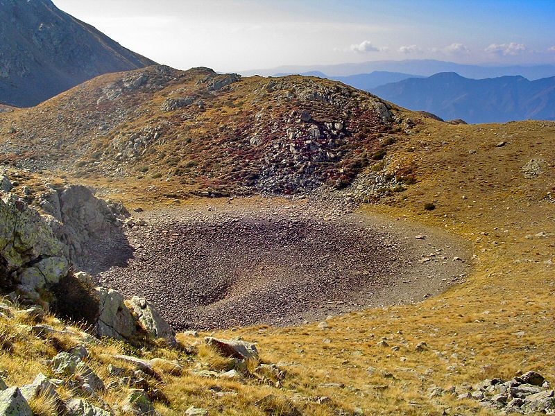
Une demi surprise, ce petit lac est à sec. Votre ballade va s'orienter vers le Nord pour atteindre le 4e lac, le Lac Long.
Half surprise, there is no water in the lake. Your hike will head North to reach the 4th lake the Long Lake.
Updated : 0000-00-00
Le lac vide et son fond de galets et de roches
The empty lake and its ground of pebbles and rocks
Updated : 0000-00-00
Une grande baignoire vidée
A big bath empty
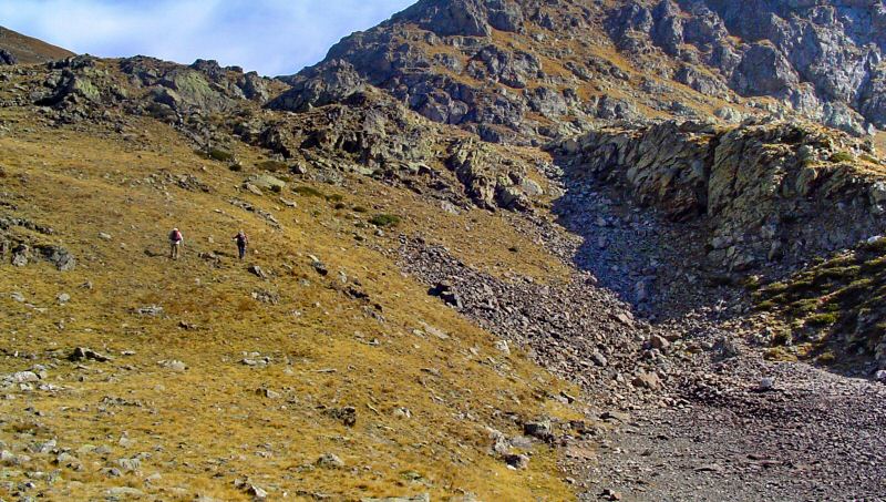
Updated : 0000-00-00
Ascension vers le 4e lac
Climbing to the 4th lake
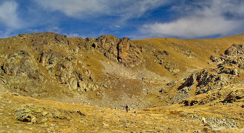
Updated : 0000-00-00
Le petit cirque qui ceint le Lac Long
The little cirque that surrounds the Long Lake
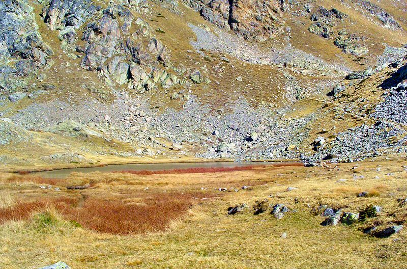
Updated : 0000-00-00
WPT6 Le Lac Rond
WPT6 the Round Lake
A 2350 mètres trône le Lac Rond dans son écrin de montagnes. Ce sera l'étape ultime de notre ballade. Toutefois, en prolongeant le chemin GR52 vers le Nord puis l'Est, vous pouivez atteindre le Lac Gros à 2375 mètres.
At 2350 meters of altitude, the Lac Rond, upper point of the hike, sits in its mountain jewel case. You can even join the Lac Gros, at 2375 meters, by following the GR52 path to the North then East.
Accédez à cette route du Raid
Go to this route of the Raid
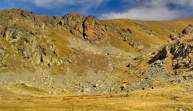
Updated : 0000-00-00
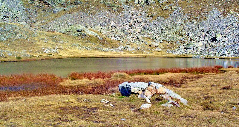
Situation du lac
Situation of the lake
Updated : 0000-00-00
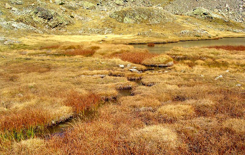
Belles couleurs d'automne sur le flot descendant
Nice automnal colors on the downstream
Updated : 0000-00-00
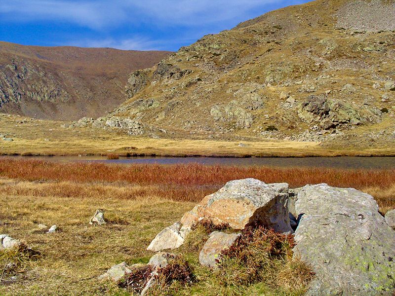
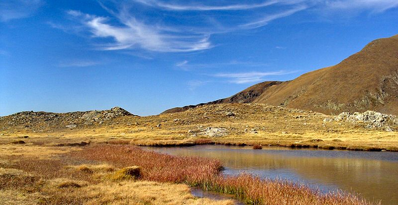
Avec de la chance, vous serez seul pour profiter de ce paysage bucolique
With (a lot of) chance, you will enjoy lonely this bucolic landscape
Updated : 0000-00-00
Updated : 0000-00-00
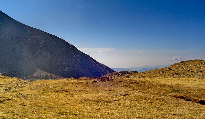
Updated : 0000-00-00
Le chemin du retour
Way back home
Afin de prendre un chemin différent pour le retour, repérez la descente qui s'amorce à gauche, vers le sud est du lac. Vous atteindrez directement le Col de Veillos sans repasser par les autres lacs.
To walk on a different path, look at the way down on the leftt south east of the lake. You will join Col de Veillos directly without reach again the other lakes.
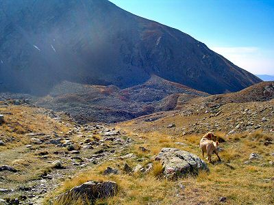 Updated : 0000-00-00 Le début de votre retour
Start of the way back
|
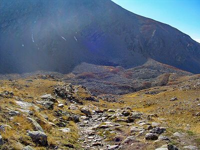 Updated : 0000-00-00 Le terrain est accidenté
The path is undulating
|
|
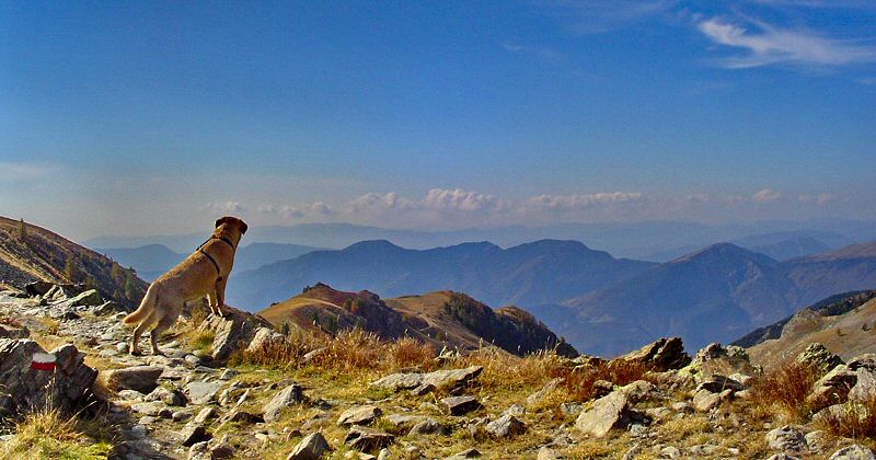
Le sentier est assez rude et secouant mais pas difficile. Avec de bonnes chaussures, vous n'aurez aucun mal à descendre.
The path is rude and shaking but not really difficult. With good shoes you will walk with no difficulty.
|
|
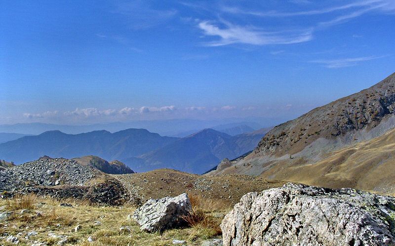
Updated : 0000-00-00
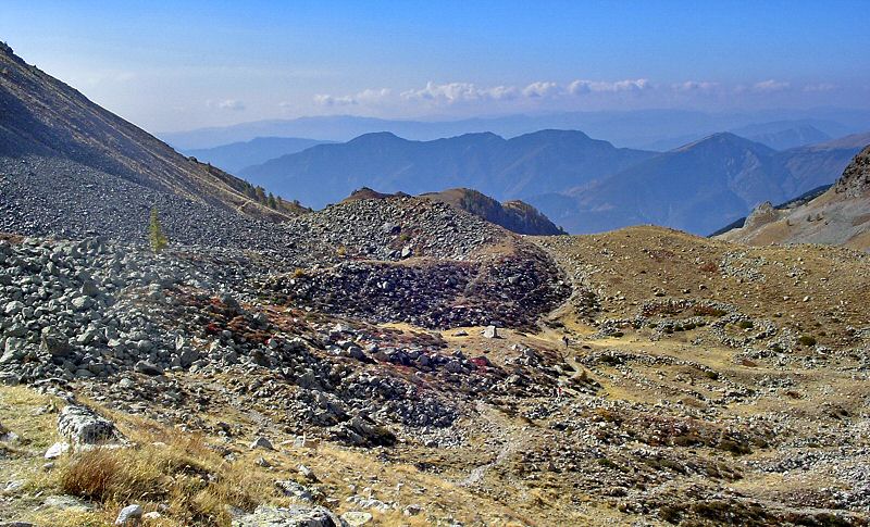
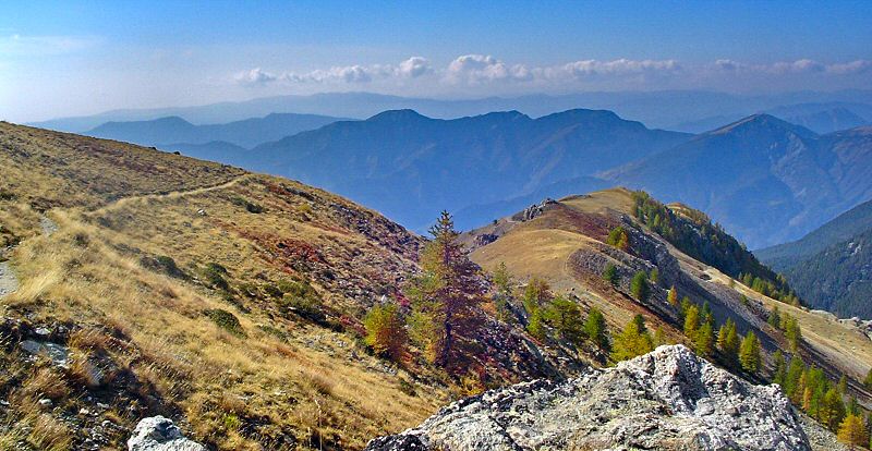
Au retour, vous aurez le panorama plein les yeux à chaque pas
At the way back, you will enjoy the landscape full in your eyes at each step
Updated : 0000-00-00
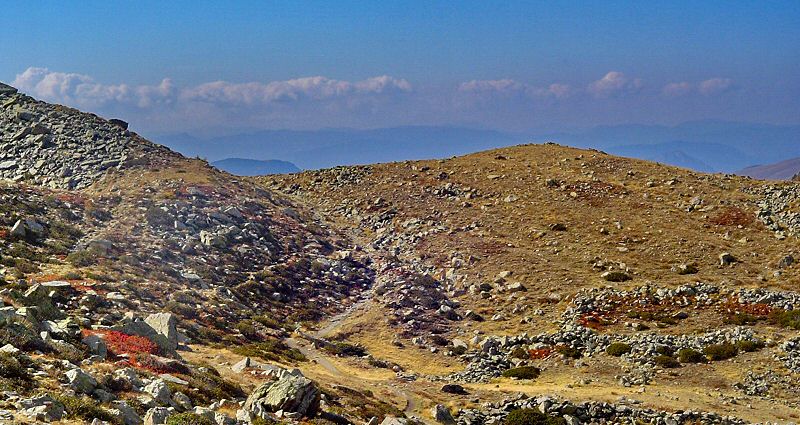
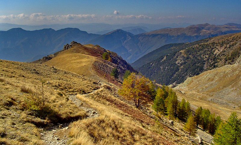
Le GR52 serpente entre les éboulis
The GR52 path winds around the fallen rocks
Updated : 0000-00-00
Updated : 0000-00-00
Updated : 0000-00-00
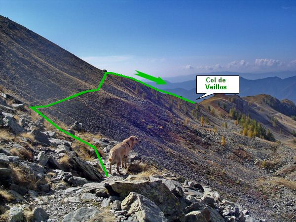
Les dernières centaines de mètres avant le Col de Veillos
Last hundreds meters before Col de Veillos
Updated : 0000-00-00
Updated : 0000-00-00
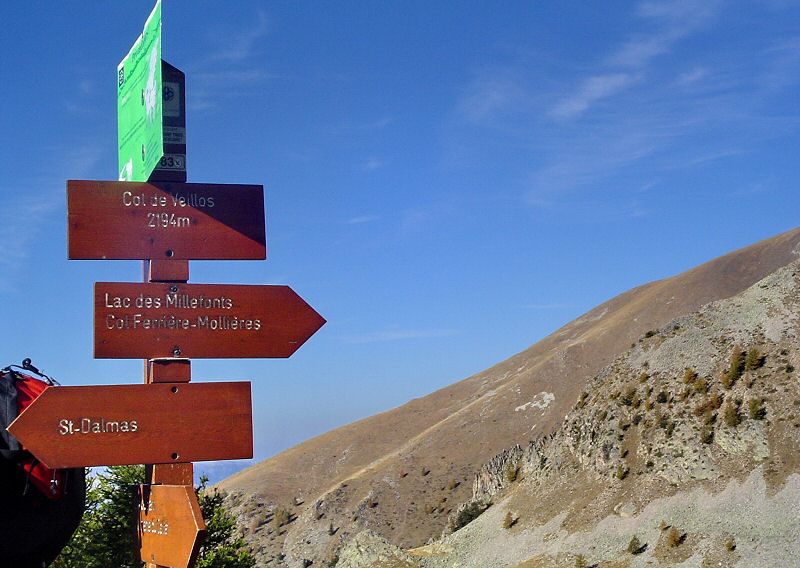
Descente au Col sur la ligne de crête
Way down to the pass by the ridge path
Updated : 0000-00-00
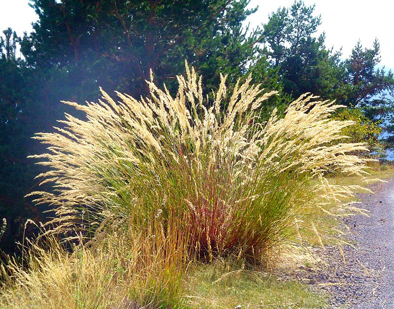
Au col, retrouvez votre chemin et reprenez la descente vers le parking
At the pass, take back your way and go down to the car park
Updated : 0000-00-00
Formule 4 Web Guide touristique - Touristic Web Guide sitemap
|
|


